|
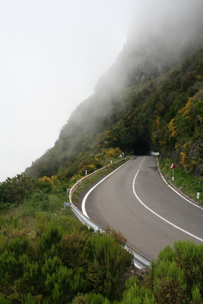 |
| Road to Paul da Serra | |
| Latitude: N 32°44'56,22" | Longitude: W 17°1'53,01" | Altitude: 1186 metres | Location: Pedras | State/Province: Madeira | Country: Portugal | Copyright: Ron Harkink | See map | |
| Total images: 62 | Help | |
|
|
|
| Road to Paul da Serra | |
| Latitude: N 32°44'56,22" | Longitude: W 17°1'53,01" | Altitude: 1186 metres | Location: Pedras | State/Province: Madeira | Country: Portugal | Copyright: Ron Harkink | See map | |
| Total images: 62 | Help | |